← Back to home·Back to “Office & Productivity”
GeoLibre Browser GIS
A full GIS in your browser: 1,000+ geoprocessing tools running locally.
Visit tool →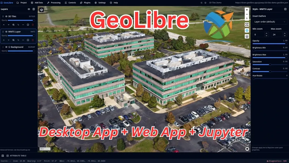
Details
GeoLibre is a free, open-source, lightweight cloud-native GIS platform (MIT, about 8,400 GitHub stars, at version 3.5.0 when we checked on 2026-11-03) whose biggest selling point is that the whole GIS runs in your browser: open the web app and start, no install, no account, and your data is processed only in your own browser — nothing is uploaded to a server. It ships 1,000+ geoprocessing tools (vector, raster, remote sensing, hydrology, terrain, LiDAR and more) executed locally through WebAssembly, and lets you query GeoJSON, GeoParquet, GeoPackage and similar data with DuckDB Spatial SQL. Maps switch between four rendering engines — MapLibre, Mapbox, Cesium and ArcGIS — with MapLibre as the default. Beyond the web app there are Windows, macOS and Linux desktop builds, Android and iOS apps, and a Python package for Jupyter; the official site also showcases 100+ example projects built from public open data, ready to fork and adapt.
Who it's for
Students, researchers and GIS practitioners who work with maps, remote sensing or terrain data — and anyone who wants one quick spatial analysis in a browser instead of installing a heavyweight QGIS or ArcGIS setup.

18btc Crypto Tools Navigator · Our Take
“Open it in a browser and your data never leaves your machine — those two points sell it. Power users can graduate to the desktop build, which is the same app.”